

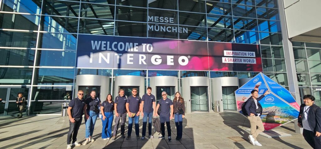
GEOMETRICUS at INTERGEO 2026 in Munich
GEOMETRICUS is exhibiting at INTERGEO 2026 in Munich, one of the leading international events for geodesy, geoinformation and land management. At Hall C6, Booth B146, our team is presenting the

GEOMETRICUS Team Building 2026 – From the Office Straight to the Outdoors
One day without projects, deadlines, or computers. Almost. For most of the year, being out in the field means surveying, equipment, deadlines, and plenty of miles. This time, the field

Mobile Mapping Surveying – Leica Pegasus TRK700 EVO and TRK100
Mobile Mapping enables fast and precise acquisition of large volumes of geospatial data without conventional traffic stops or extensive individual field measurements. GEOMETRICUS uses professional Leica Pegasus TRK700 EVO and
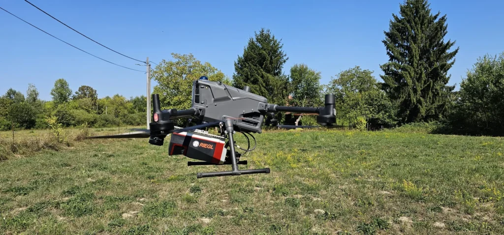
UAV LiDAR Surveying – RIEGL VUX-160 on DJI Matrice 400
As part of the continued development of our airborne LiDAR capabilities, GEOMETRICUS operates the RIEGL VUX-160 laser scanner integrated with the DJI Matrice 400 UAV platform for high-precision airborne surveying.

Internationalization of GEOMETRICUS Ltd.
Project Code: PK.1.3.10.0178 Total Project Value: €49,192.80 Grant Amount: €27,108.97 Beneficiary: Geometricus Ltd. for Geodetic Services, Ferovac 32, 34340 Kutjevo, Croatia Contact: Stjepan Keleminec, stjepan.keleminec@geometricus.hr Project Management: TEMPO Consulting Ltd.,

Submission of the cadastral survey report with the preparation of inventory lists for the purpose of establishing land registry folios for the cadastral municipality of Nikšić 1
Cadastral municipality:for C.M. Nikšić 1 Date of public presentation: 23 February 2026 Venue of the public presentation:Nikšić Community Center, Donji Nikšić 1A, Donji Nikšić [Download] Rights holders are required to