
Geometricus
Cadastral survey
A cadastral survey is the process of collecting and processing spatial and property-rights data with the aim of establishing, renewing, or updating the cadastral register. It includes determining the boundaries of cadastral parcels, recording buildings and other structures, defining land use, and registering special legal regimes on the land.
The State Geodetic Administration (SGA) carries out cadastral surveys as part of multi-year and annual programs, aiming to harmonize data between cadastral records and land registries. Our company is a contracted executor of works on behalf of the SGA and participates in all stages of the survey – from field measurements and data processing to the preparation of cadastral reports and collaboration with the relevant authorities.
Respond to the Invitation
You will be notified about the start of the cadastral survey through announcements in local media, at organized public meetings in your area, and by personal invitation. In the area where the survey is conducted, an information board will be displayed with details about the survey area, the client, the contractor, and the supervision.
Mark Your Boundaries
You will be invited to mark your parcels. If necessary, before the scheduled marking date, inspect your parcels together with neighboring property owners so that the boundaries can be shown to the surveyors. Permanent boundary markers used for marking the parcels will be provided by the surveying companies conducting the survey, and if your parcels have already been marked, you will show those existing boundaries.
Prepare the Documentation
Prepare all the documentation you have! This includes building permits, occupancy permits, or other construction-related documents for the buildings on your parcel. Necessary documentation also includes inheritance decisions, sales contracts, statements, and other records that prove ownership. As part of the survey, the actual shape, use, and ownership of your parcel can be registered in the cadastre and land registry in a simplified manner and free of charge. Take advantage of this opportunity and be an active participant in the cadastral survey!
Be Present During the Survey
Surveyors go out to the field to carry out geodetic measurements and collect documentation. Be an active participant in the survey: be present on your parcel during the survey and confirm that the surveyors have measured the exact boundaries you indicated and that are marked. Based on the collected data, a cadastral survey report will be prepared, containing all information about the parcel as well as the proposed actual owner. It is in your interest to be present!
Attend the Presentation
The start of the presentation is announced in public media. You will be invited to the presentation in writing. Be sure to attend, as during this process you will review the measured data for your parcel, provide proof of ownership, give consent to the presented data, or indicate any data you disagree with.
New Cadastre and Land Registry
Based on the data from the presentation, municipal courts prepare land registry entries. The land registry is opened, and the new cadastral register is put into use. This also starts the period for submitting any corrections or objections. We encourage you to be an active participant in the cadastral survey!
FAQ
What is a cadastral survey and what is its purpose?
A cadastral survey involves the collection and processing of all necessary data for the purpose of establishing cadastral parcels, recording buildings, registering special legal regimes on land, and determining land use, as well as creating the cadastral register of real estate.
The cadastral survey determines the boundaries of cadastral parcels and produces cadastral plans. This process is carried out to improve the accuracy of property and parcel data in the cadastral records.
Cadastral surveys are usually conducted within a cadastral municipality and include land surveying, preparation of cadastral plans, and updating the cadastral register based on new information about parcel boundaries, land use, and any special legal regimes applicable to the parcels.
Why is a cadastral survey conducted?
A cadastral survey is carried out to improve the accuracy of data on buildings and cadastral parcels in the cadastral records. Its main goal is to create a new cadastral register and establish a new land registry, thereby harmonizing the data recorded in these two property records. In addition, a cadastral survey enables the precise determination of parcel boundaries, which is important for establishing ownership, planning, and land use.
During the cadastral survey process, it is possible to register all changes that have occurred on the land over the past several decades. The shape of newly formed cadastral parcels, their area, and the registered owners depend solely on the data collected during the cadastral survey.
Furthermore, conducting a cadastral survey is a legal obligation prescribed by law.
What are my obligations as a property rights holder?
Property rights holders actively participate in all procedures within the cadastral survey as follows:
Marking land boundaries with visible permanent markers
Measuring land boundaries and collecting data on cadastral parcels
Reviewing the cadastral survey report
Presenting the data from the cadastral survey report
In these procedures, parties can and should protect their rights and interests.
What is the marking of cadastral parcels?
During the cadastral parcel marking process, an official (the contractor) together with the owners/authorized representatives of the parcel and the neighboring landowners inspects the properly marked boundaries of the cadastral parcel, collects data on the ownership/co-ownership structure of the parcel, gathers information about the owners, and collects documentation for any buildings located on the parcel.
Invitation for parcel marking – why haven’t I received it?
Invitations for parcel marking are based on the existing cadastral data maintained by the State Geodetic Administration (SGA). Since the cadastral survey is conducted because these data are not up to date, many invitations are addressed to deceased individuals, or the addresses of property holders listed in the invitations may be incorrect.
For this reason, we strive to inform all interested parties about cadastral survey activities through announcements in local media, public notice boards in the community, and by holding public meetings.
In cases where delivery cannot be made to the addresses recorded in official records, or when it becomes clear during delivery attempts that the invitation cannot be handed to the intended recipient (recipient unknown, moved, deceased), the surveying contractor will publish the invitation on the SGA’s e-Notice Board.
However, the fastest and most effective way to inform the public about the survey work has proven to be the sharing of information among residents, families, friends, and others. Therefore, please share this information!
Why aren’t all the cadastral parcels I own listed in the invitation I received?
The basis for the invitation is the existing cadastral data, which is not up to date. The cadastral survey is conducted precisely to address discrepancies between the existing records and the actual situation on the ground.
The reason not all parcels may be listed in the invitation could be due to the aforementioned outdated database, or because an official marking appointment for your cadastral parcel has not yet been scheduled. You will be notified of the date in due course.
What documents do I need to bring with me when attending the cadastral parcel marking appointment?
You need to bring an identification document that includes your OIB and documentation for any buildings proving their legality (if there are buildings on the parcel).
When providing data on the ownership structure of the cadastral parcel, the following information about each owner must be given: full name, residential address, OIB, and contact details.
In the case of co-ownership of a parcel, it is sufficient for one person to represent the co-owners, but that person must have the required information for all co-owners and know the ownership shares.
What if I am unable to attend the cadastral parcel marking appointment?
If you are unable to attend at the scheduled time, your heirs, close relatives, or other authorized persons may participate in the parcel marking on your behalf by presenting their ID and a power of attorney issued by the property rights holder (the authorization does not need to be notarized).
The person attending the marking on your behalf must know your OIB, residential address, and phone number, and must be informed about the cadastral parcel being marked.
How should a cadastral parcel be properly marked?
For the parcel marking and boundary inspection process to be carried out successfully, property rights holders are required to mark the boundaries of their land (boundary lines) in the manner prescribed by law and the provided guidelines. Permanent boundary markers used for marking parcels will be supplied by the surveying companies conducting the survey.
Since physical access must be provided to every turning point that defines the boundary of a cadastral parcel for the survey, ensure that the boundaries are accessible.
What if I cannot reach an agreement with my neighbor regarding the boundary?
Property rights holders of cadastral parcels who cannot agree on the boundary, because each has a firm position, should mark their own proposed boundaries. The boundary markers must be distinguished using different colors, and any dispute will be resolved by the competent court through the usual procedure.
It should be emphasized that court proceedings are costly and time-consuming, so it is in the parties’ interest to try to reach an agreement on-site, ensuring that, after the updated land registry and cadastral register, they have clear and undisputed ownership of their property.
Since physical access must be provided to every turning point that defines a cadastral parcel boundary for the survey, make sure that the boundaries are accessible.
What happens if I do not mark the boundaries of my cadastral parcel?
For marking the boundaries of cadastral parcels that are not marked by the owners or other authorized persons, existing cadastral data will be used. The parcel boundary lines will be connected according to the surveyor’s assessment in accordance with the law.
I have clear ownership documents; do I still need to mark the cadastral parcel?
The scope of the cadastral survey also includes parcels for which geodetic reports have been prepared in previous years. Property rights holders of such cadastral parcels have the same obligation to mark the boundaries as others. However, the contractor will receive all geodetic reports prepared for the survey area from the competent cadastral office and will take them into account if there are no discrepancies with the actual situation on the ground.
What documentation do I need to provide as proof of ownership?
ChatGPT said:
Here is a list of documents you can bring to prove ownership:
Land Registry Extract (ZK Extract)
Cadastre Extract (KPU Extract)
Contract Addendum
Co-ownership Agreement
Contract
Gift Agreement
Gift Agreement in Case of Death
Partition Agreement
Marital Property Partition Agreement
Agreement on Lifetime Support
Lifelong Maintenance Agreement
Loan Agreement
Sales/Purchase Agreement
Sales/Purchase Agreement with Pre-emptive Right
Lease Agreement
Partnership Agreement
Agreement on Establishing Building Rights
Agreement on Establishing Easement Rights
Merger Agreement
Agreement on the Sale of an Apartment with Tenancy Rights
Termination Agreement
Agreement on Asset Distribution During Lifetime
Contribution of Assets and Real Estate to Share Capital
Agreement on Arranging Relations Between Spouses
Rental Agreement
Real Estate Exchange Agreement
Decision
Decision on Award
Expropriation Decision
Inheritance Decision
Enforcement Decision
Decision on Property Return
Decision on Dissolution of Co-ownership
Urban Land Consolidation Decision
Cancellation Statement
Declaration of Renunciation
Birth Certificate Extract
Death Certificate Extract
Marriage Certificate Extract
Court Register Extract
Historical Court Register Extract
Settlement
Statement of Will
Depreciation Certificate
Court Judgment
Power of Attorney
Agreement to Secure Monetary Claim
Agreement to Secure Monetary Claim by Transfer of Property Ownership
Court Settlement
Co-ownership Agreement
Tabular Declaration
Lawsuit
Residence Certificate
Conclusion
Decision on Sale
Other Documents
What documentation do I need to provide as proof of a building’s legality?
If a building is already recorded in the existing cadastral register (with the building footprint on the cadastral plan not deviating from the actual structure), it is not necessary to provide any documentation; it is sufficient to sign the “Building Report” you will receive during the marking appointment.
If the building is being recorded in the cadastral register for the first time as part of the cadastral survey, the party is required to provide:
Occupancy Permit
As-Built Certificate
Other documents specified in Article 175 of the Construction Act (if issued before January 1, 2014)
Is it possible to dissolve co-ownership and transfer property to heirs during the cadastral survey process?
Since the cadastral survey produces a new digital cadastral plan, all newly agreed-upon boundary changes resulting from settlements, partitions, exchanges, unrecorded sales, and inheritance will be registered. All of this will be recorded only between or from legitimate property rights holders and along properly marked boundaries.
When will the cadastral survey data become official?
Land registry clerks, during the public presentation process, prepare new land registry entries containing data on cadastral parcels and rights holders that reflect the actual situation. After all entries for the cadastral municipality where the survey was conducted are prepared, the court president or a judge authorized by the president issues a decision to open the new land registry and close the old one. At the same time, the Central Office of the State Geodetic Administration issues a decision to put the new cadastral register into official use, thereby officially completing the cadastral survey process. The updated data are available to all users on the “Organized Land” portal.
Is the cadastral survey conducted solely for the purpose of property taxation?
Cadastral surveys began about ten years before the public discussion of property tax introduction, and these procedures have no connection to the implementation of that tax. Updated land registry data are not the only prerequisite for the tax, and there are already established taxation models that do not depend on having updated land registry records.
List of documents for building occupancy
Occupancy Permit
As-Built Certificate
Other documents referred to in Article 175 of the Construction Act (if issued before January 1, 2014)
List of documents used for registration in the land registry
Land Registry Extract (ZK Extract)
Cadastre Extract (KPU Extract)
Contract Addendum
Co-ownership Agreement
Contract
Gift Agreement
Gift Agreement in Case of Death
Partition Agreement
Marital Property Partition Agreement
Agreement on Lifetime Support
Lifelong Maintenance Agreement
Loan Agreement
Sales/Purchase Agreement
Sales/Purchase Agreement with Pre-emptive Right
Lease Agreement
Partnership Agreement
Agreement on Establishing Building Rights
Agreement on Establishing Easement Rights
Merger Agreement
Agreement on the Sale of an Apartment with Tenancy Rights
Termination Agreement
Agreement on Asset Distribution During Lifetime
Contribution of Assets and Real Estate to Share Capital
Agreement on Arranging Relations Between Spouses
Rental Agreement
Real Estate Exchange Agreement
Decision
Decision on Award
Expropriation Decision
Inheritance Decision
Enforcement Decision
Decision on Property Return
Decision on Dissolution of Co-ownership
Urban Land Consolidation Decision
Cancellation Statement
Declaration of Renunciation
Birth Certificate Extract
Death Certificate Extract
Marriage Certificate Extract
Court Register Extract
Historical Court Register Extract
Settlement
Statement of Will
Depreciation Certificate
Court Judgment
Power of Attorney
Agreement to Secure Monetary Claim
Agreement to Secure Monetary Claim by Transfer of Property Ownership
Court Settlement
Co-ownership Agreement
Tabular Declaration
Lawsuit
Residence Certificate
Conclusion
Decision on Sale
Other Documents

Submission of the cadastral survey report with the preparation of inventory lists for the purpose of establishing land registry folios for the cadastral municipality of Nikšić 1
Cadastral municipality:for C.M. Nikšić 1 Date of public presentation: 23 February 2026 Venue of the public presentation:Nikšić Community Center, Donji Nikšić 1A, Donji Nikšić [Download]

Public Forum – Implementation of the New Cadastral Survey for the Area of the City of Slunj
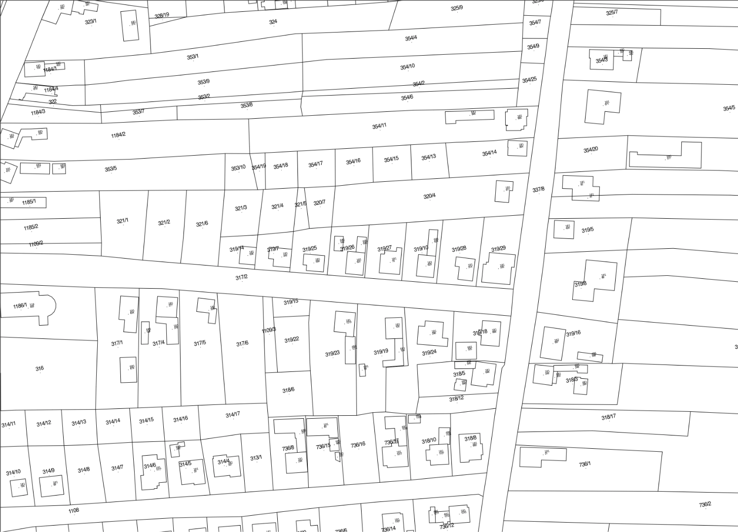
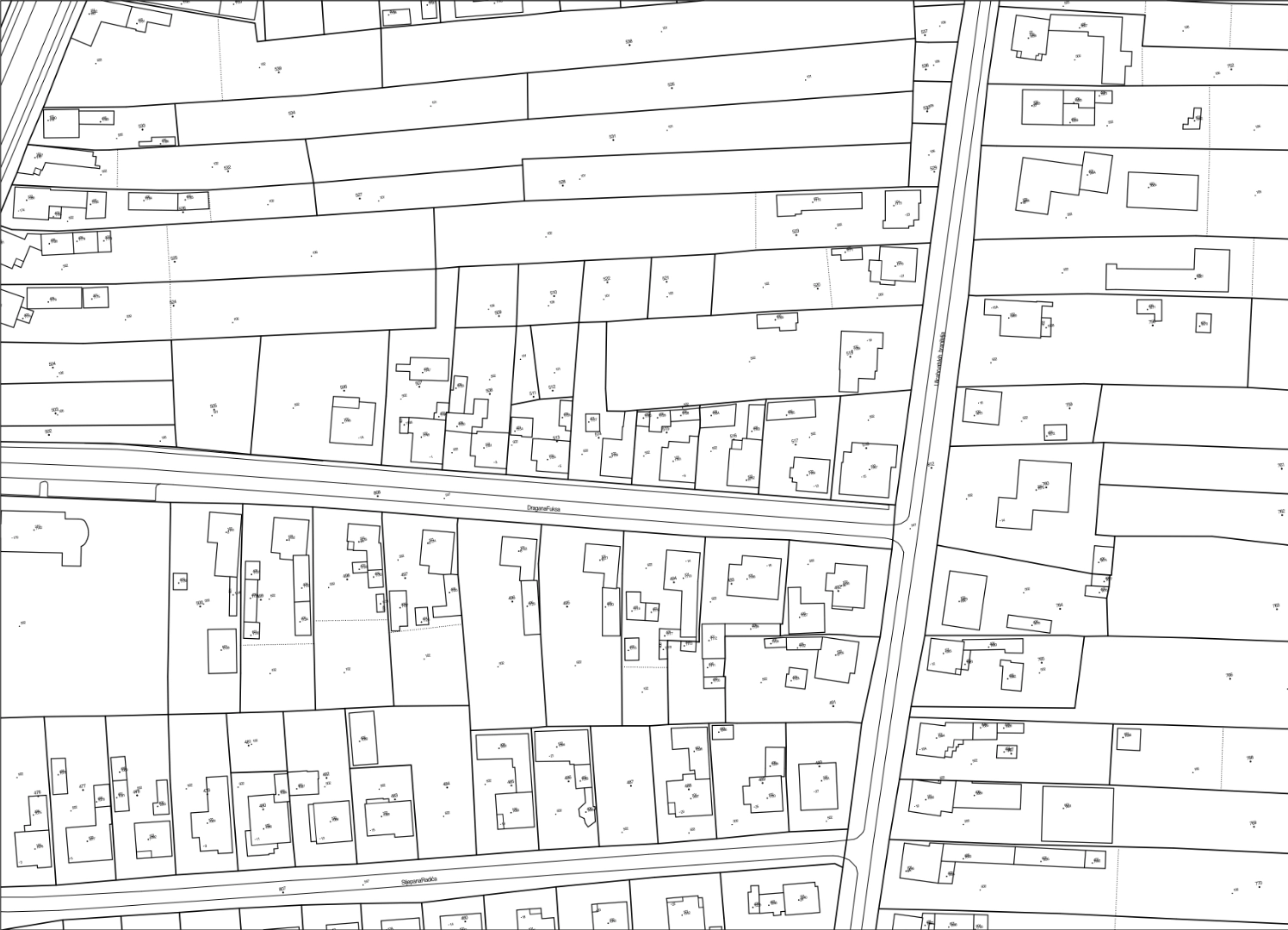
Cadastral Municipality Nikšić Date: August 22, 2025Location: Community Center Nikšić, Donji Nikšić 1A Notices and Instructions for Right Holders [ Overview Map – part of
