
Engineering Surveying
Blog

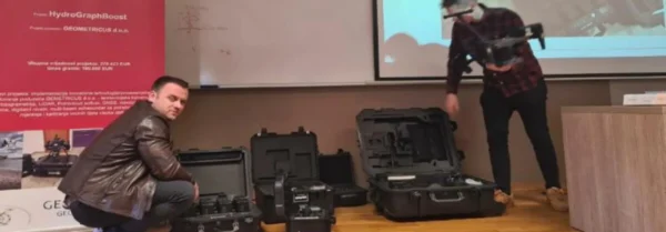
geometricus
Engineering Surveying
Surveying systems play a key role in all phases of designing, constructing, and later operating structures. Without high-quality and precise geodetic base maps, modern infrastructure and construction projects are nearly impossible to envision today. Their use allows for control at every stage of work—from initial conceptual designs, through execution plans, to monitoring shifts and deformations of structures over many years of use.
Every serious geodetic project requires high precision and appropriate equipment, and you can expect nothing but the highest quality from us!
Our services include:
Base maps for detailed and master projects
Civil engineering (roads, bridges, earthworks)
Building construction
Energy projects
Establishment of geodetic networks
Precise staking and specialized base maps
Utility and pipeline location
Construction supervision, as a critical part of project control, is reliably executed using our know-how for both investors and contractors. No more discrepancies in material usage, measurement logs, profile preparation, or inaccurate quantities. We ensure that your construction is reliable, and materials are used and billed precisely according to consumption.
