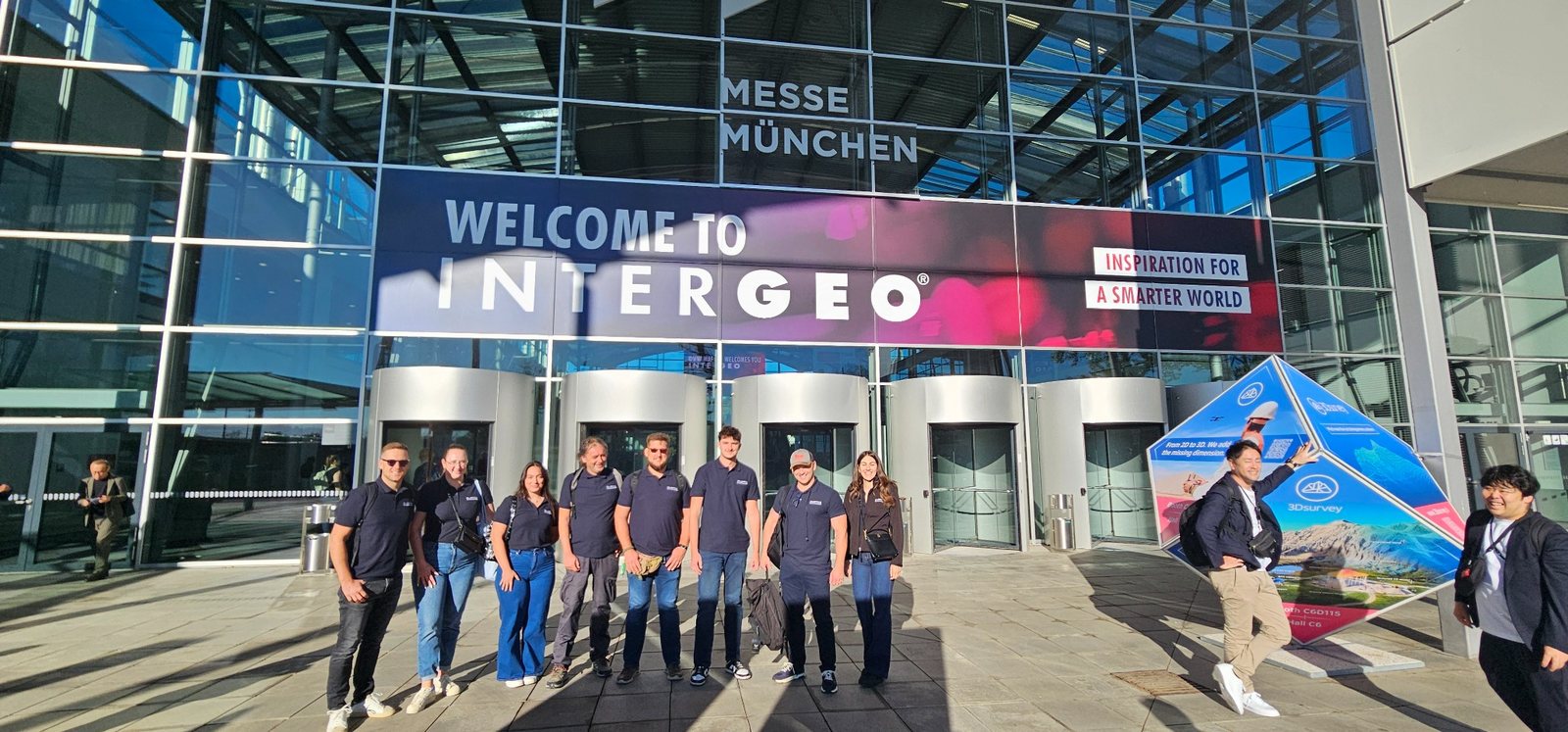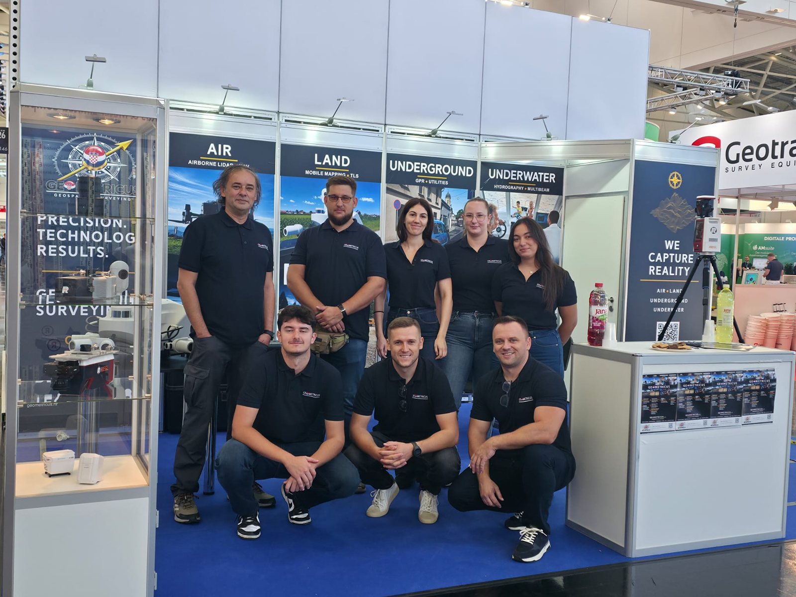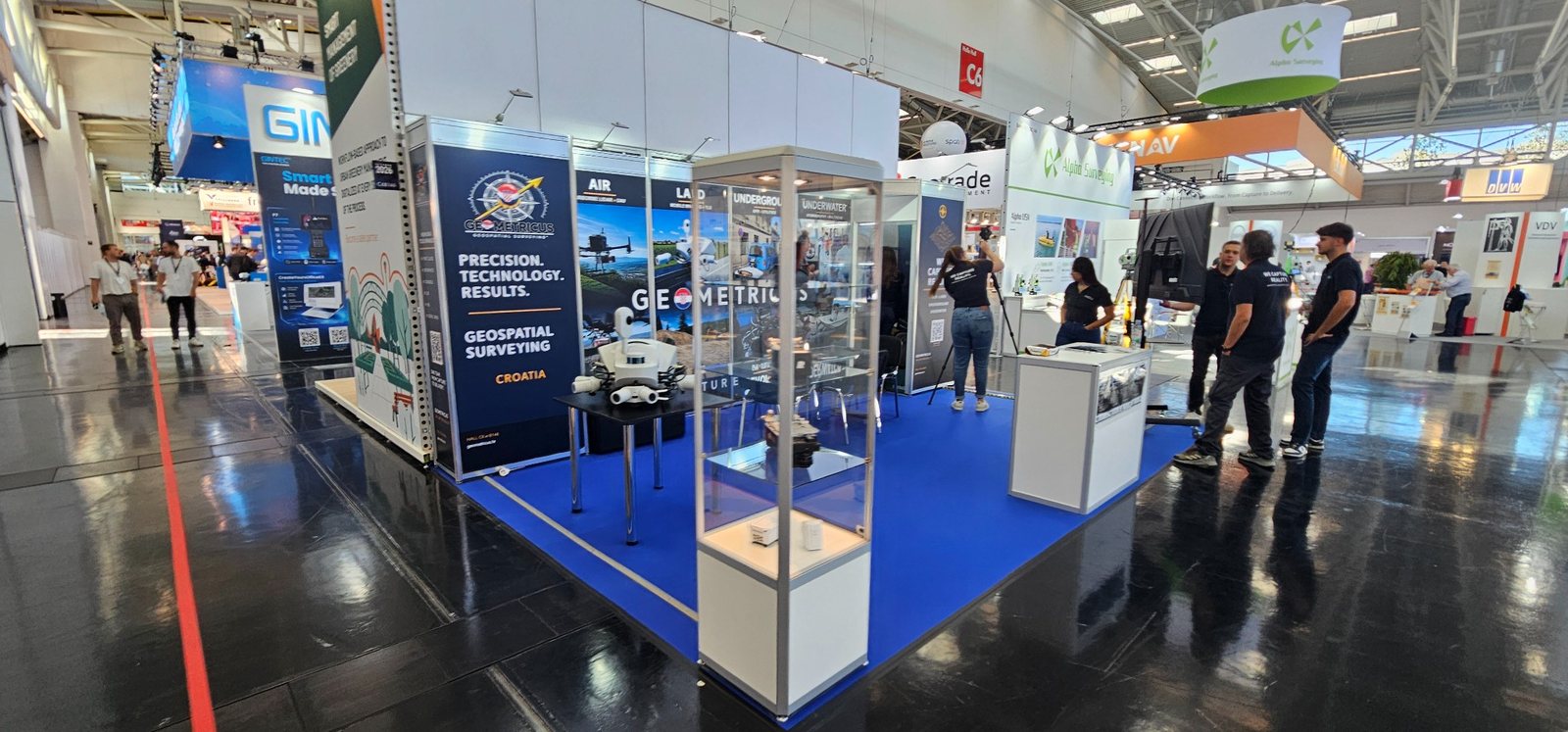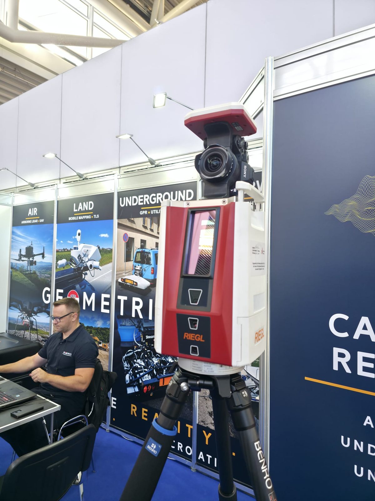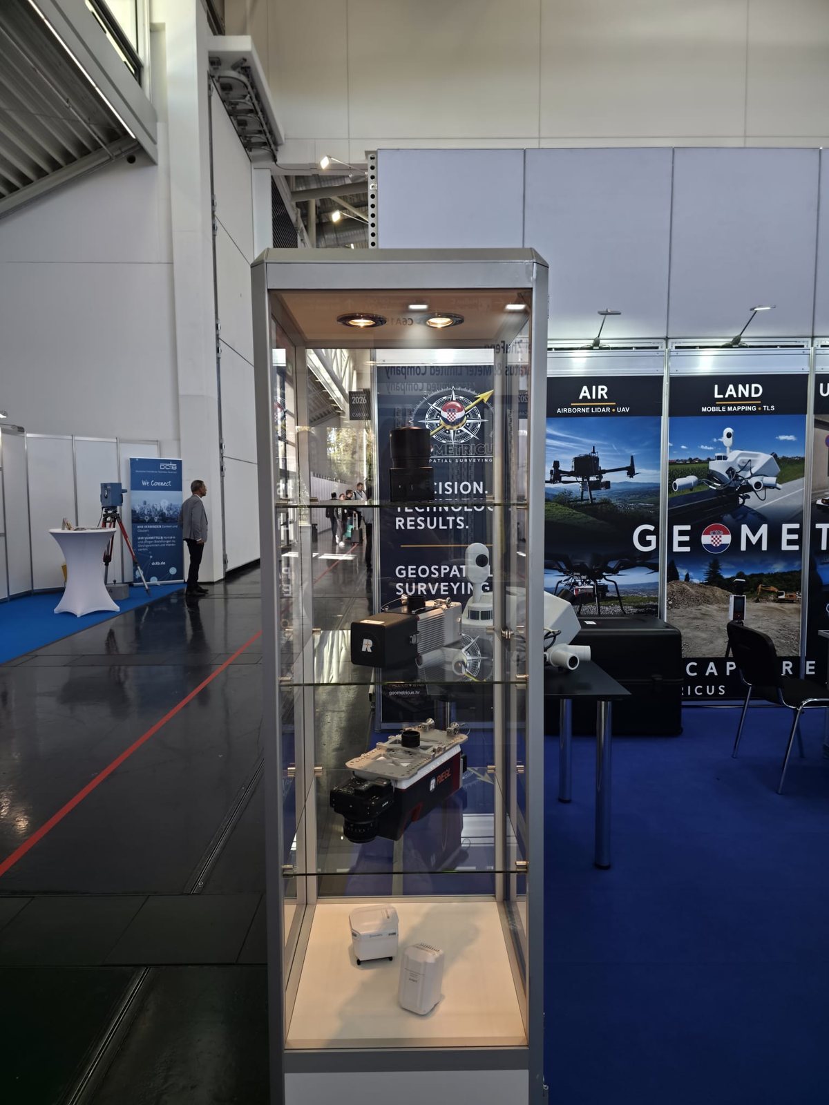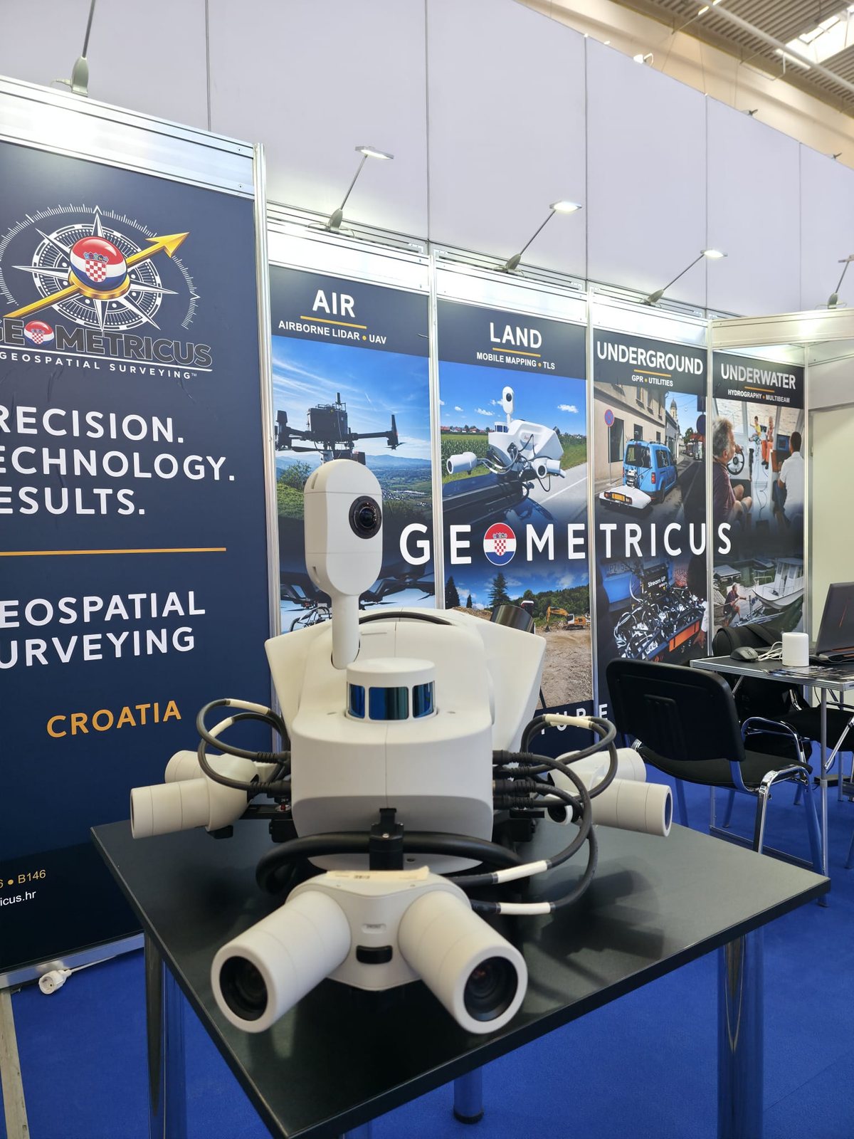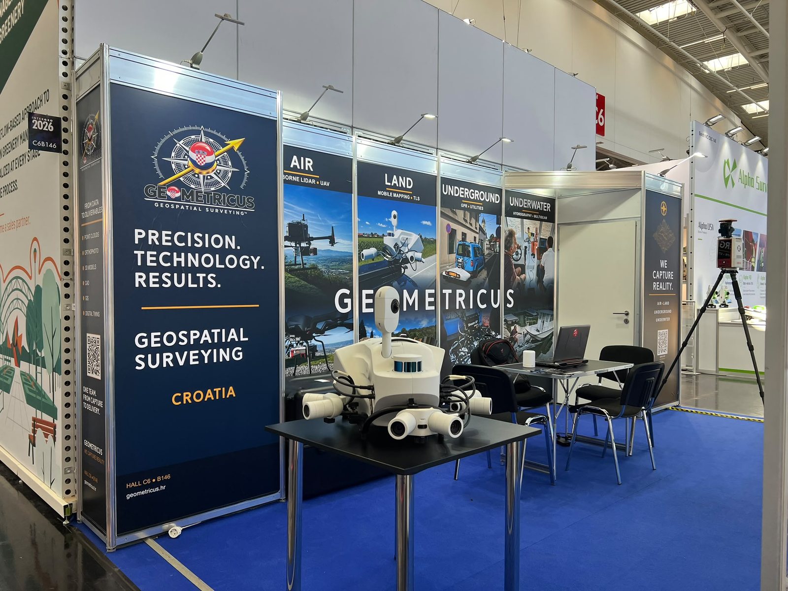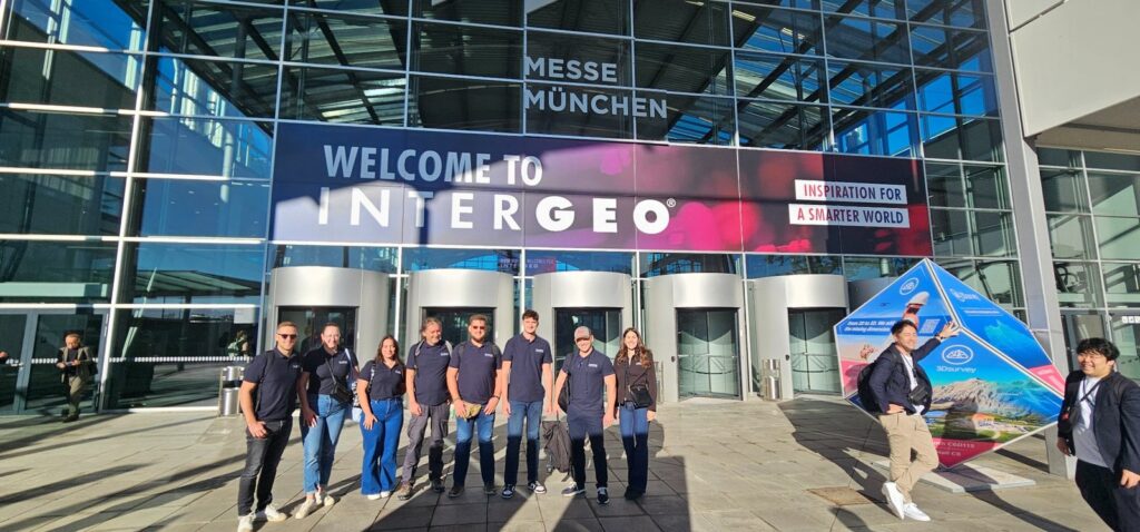

GEOMETRICUS is exhibiting at INTERGEO 2026 in Munich, one of the leading international events for geodesy, geoinformation and land management.
At Hall C6, Booth B146, our team is presenting the four core areas of our geospatial capabilities:
AIR – UAV LiDAR and aerial photogrammetry
LAND – Mobile Mapping and Terrestrial LiDAR
UNDERGROUND – GPR and underground utility mapping
UNDERWATER – Hydrographic surveying and multibeam bathymetry
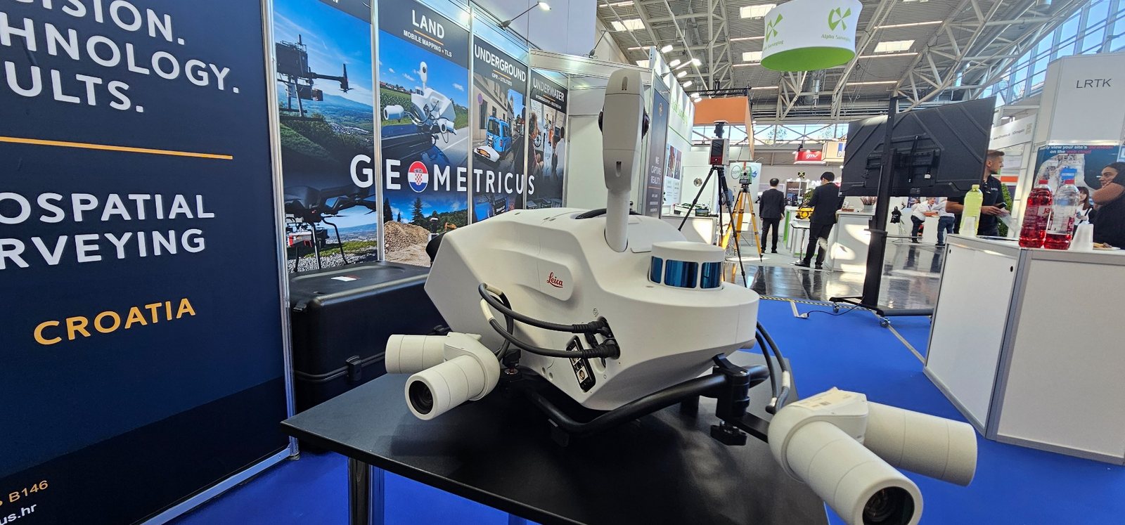
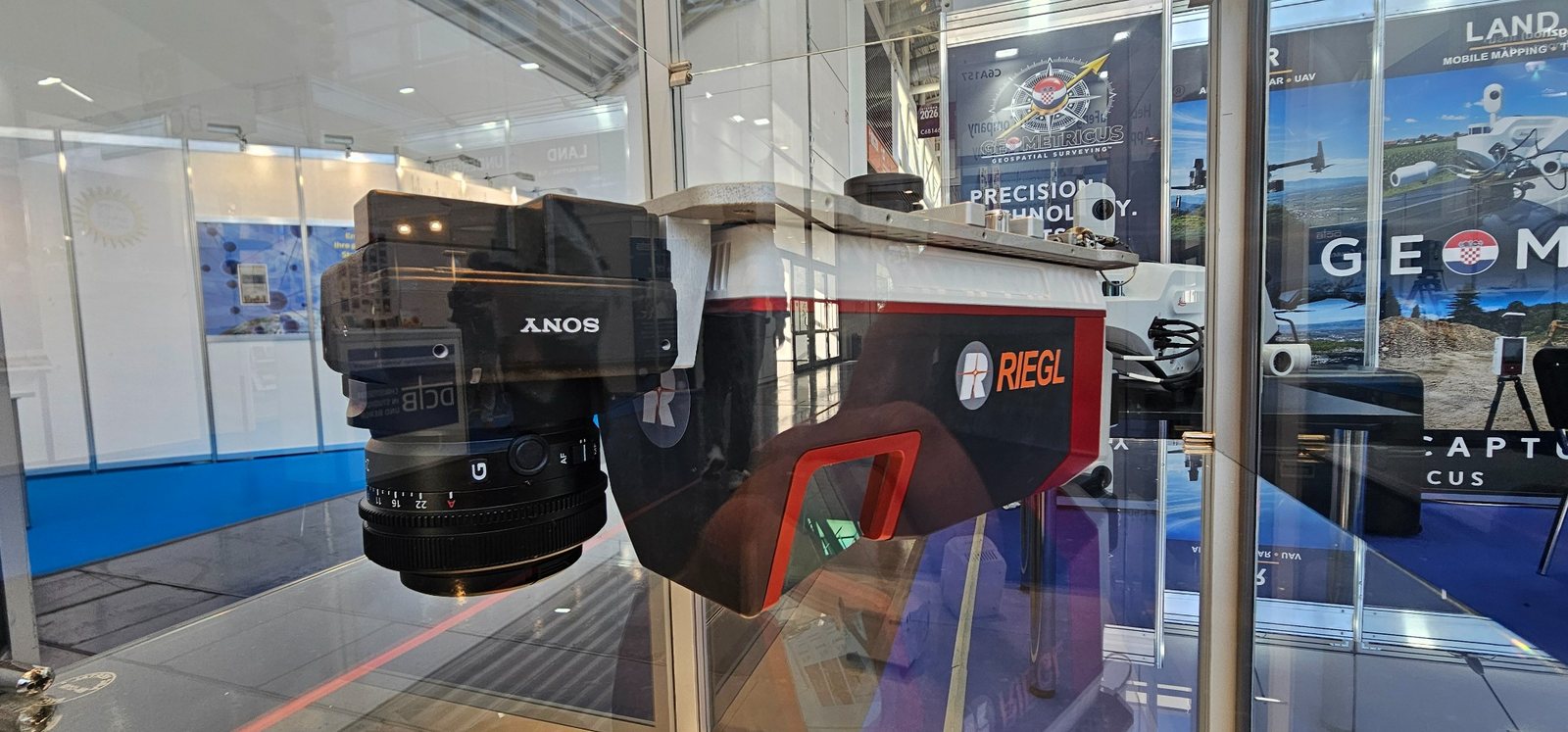
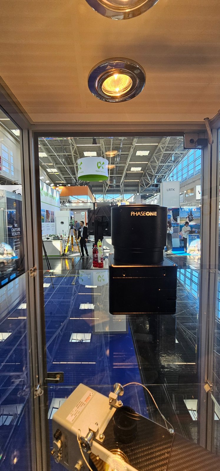
Our exhibition includes technology that forms part of our everyday production environment, including the Leica Pegasus TRK700 EVO mobile mapping system, RIEGL VZ-600i terrestrial laser scanner, RIEGL VUX-160 and miniVUX airborne LiDAR systems, and Phase One imaging technology.
For GEOMETRICUS, participation at INTERGEO is about much more than presenting equipment.
Our objective is to develop new international partnerships, connect with companies involved in major road, railway, utility and infrastructure projects, and explore technologies that can further automate the processing of LiDAR, imagery and mobile mapping datasets.
We are particularly interested in solutions that shorten the path from field acquisition to structured CAD, GIS, 3D and engineering deliverables.
INTERGEO also gives our technical team direct access to manufacturers, software developers and other geospatial professionals, allowing us to evaluate new technologies against the requirements of real projects.
If you are attending INTERGEO 2026, visit us in Munich.
GEOMETRICUS d.o.o.
Hall C6 | Booth B146
Munich, Germany
WE CAPTURE REALITY.