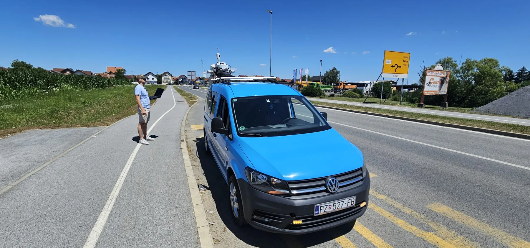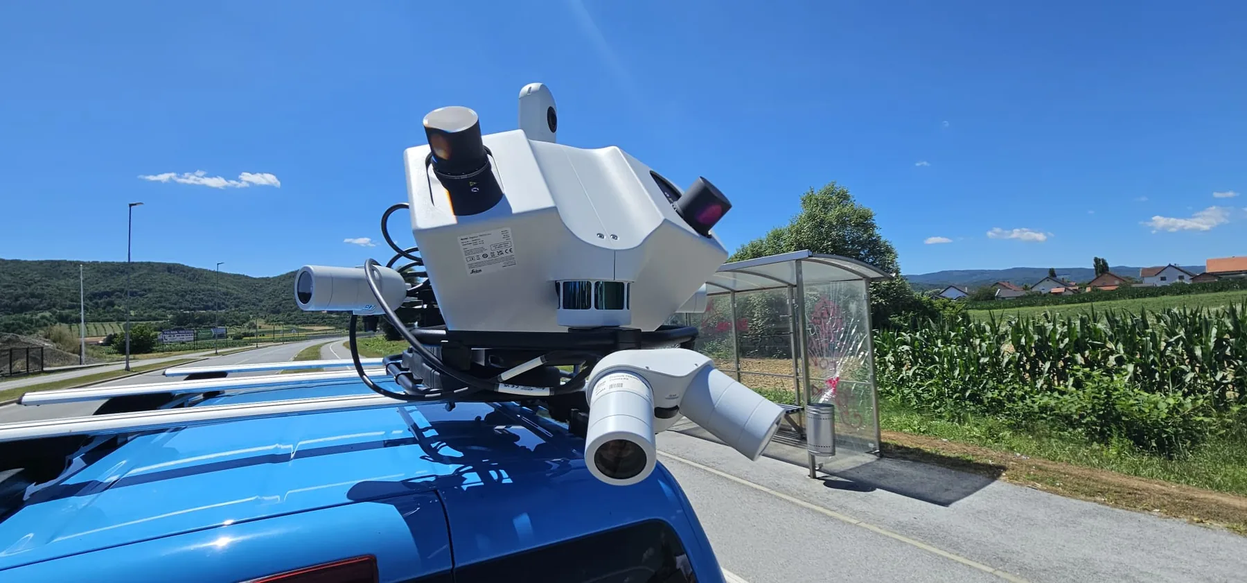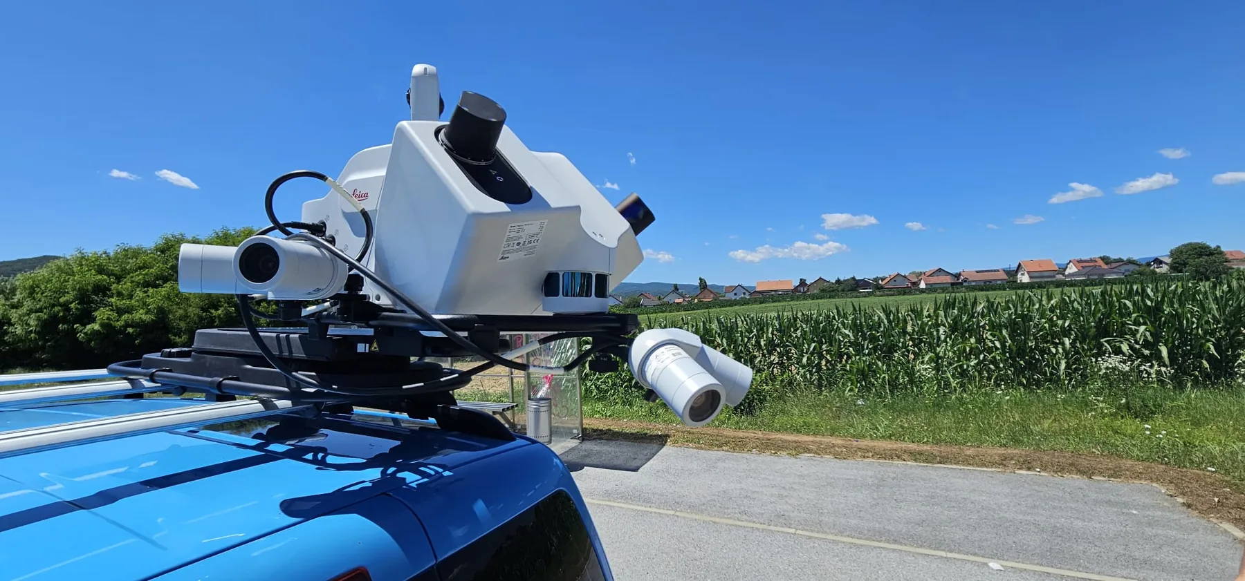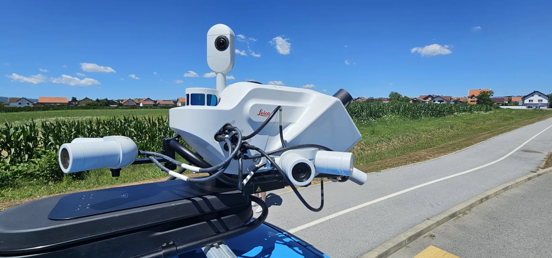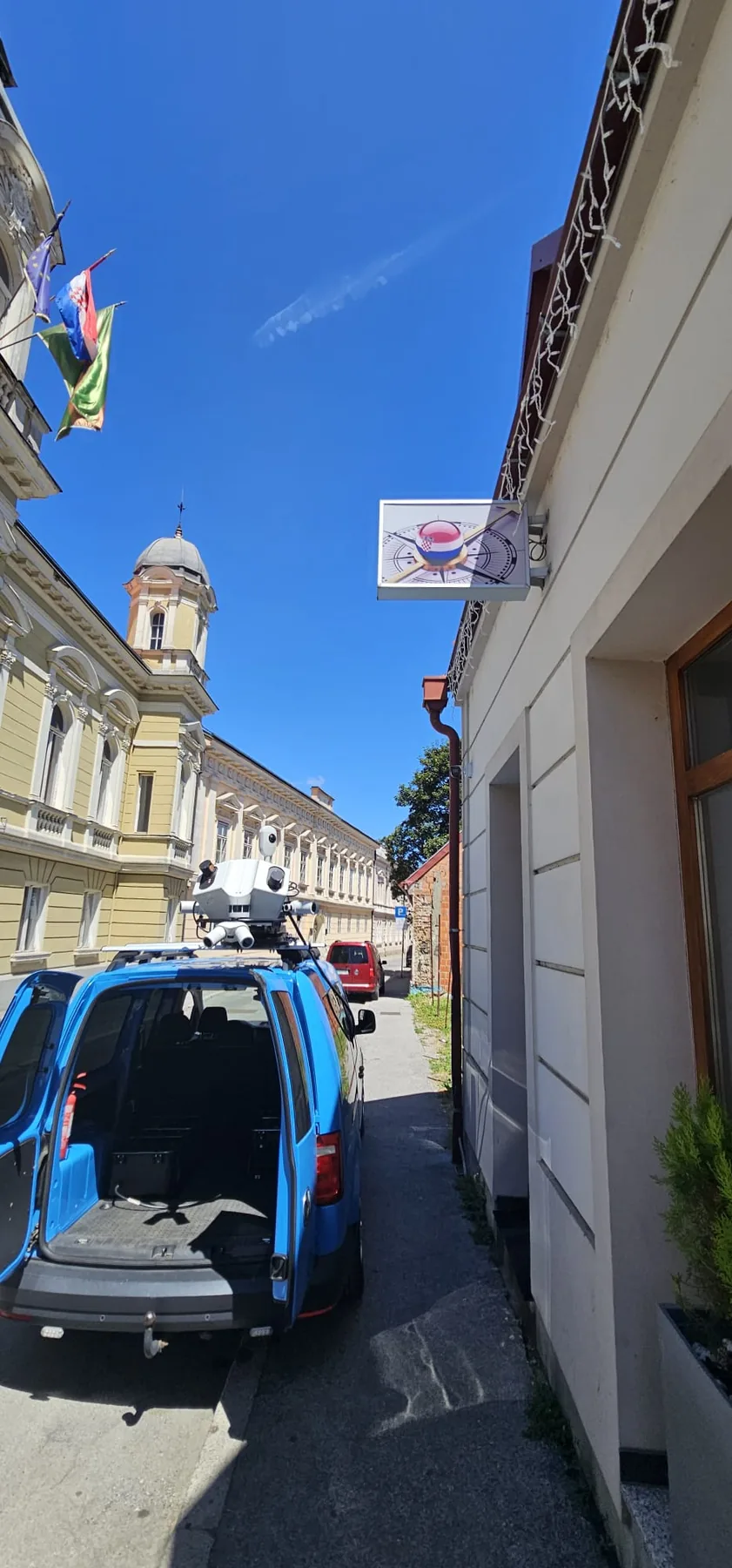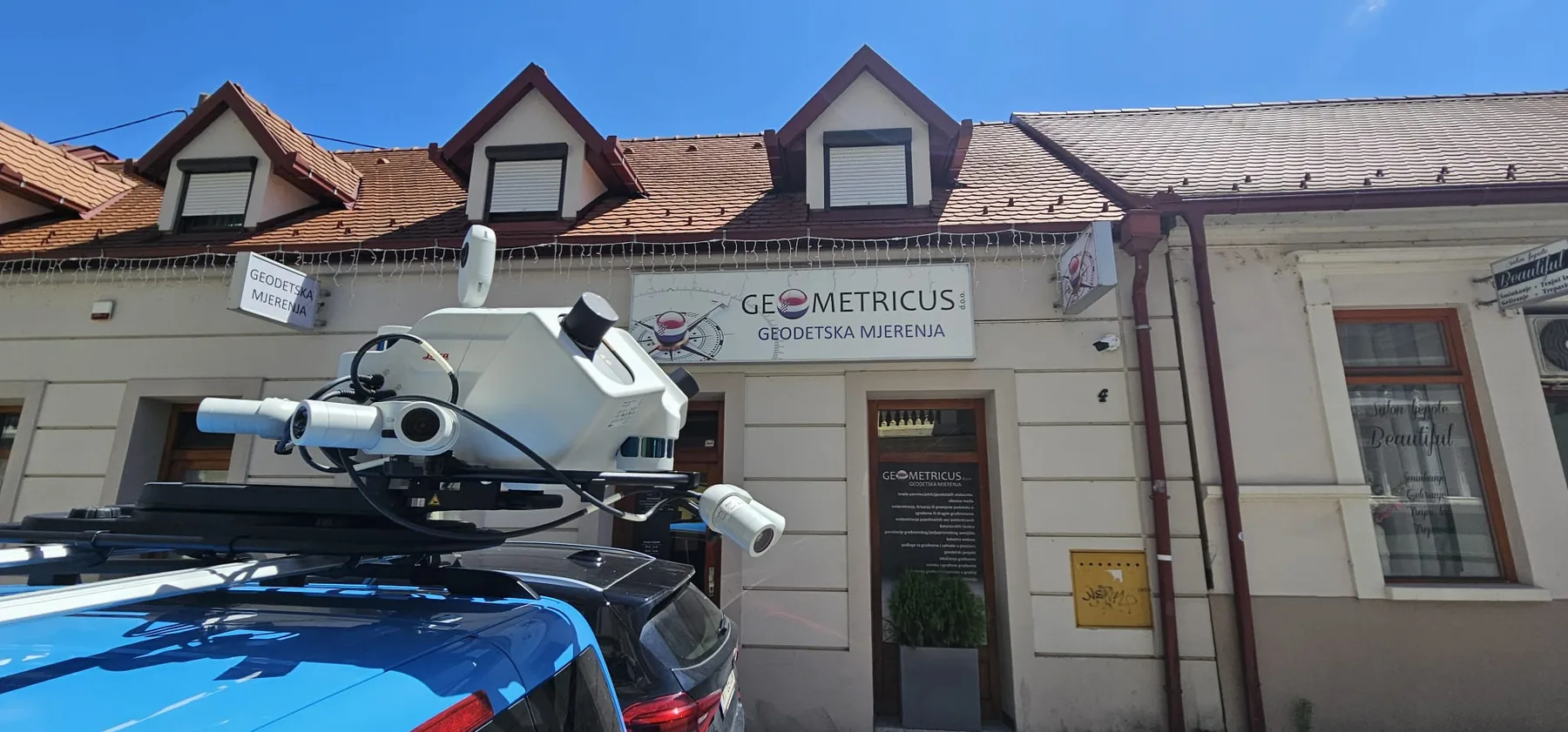


Mobile Mapping enables fast and precise acquisition of large volumes of geospatial data without conventional traffic stops or extensive individual field measurements.
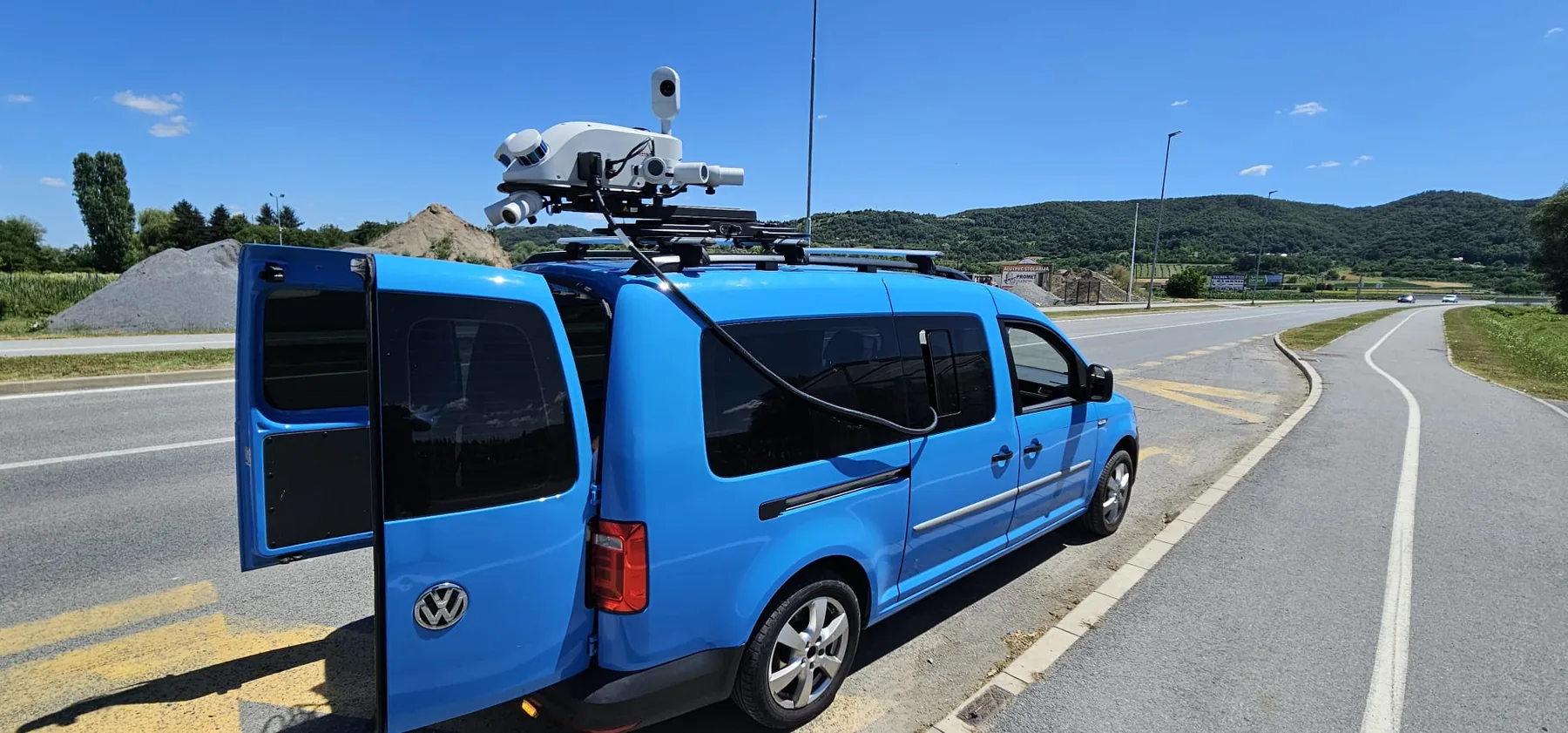
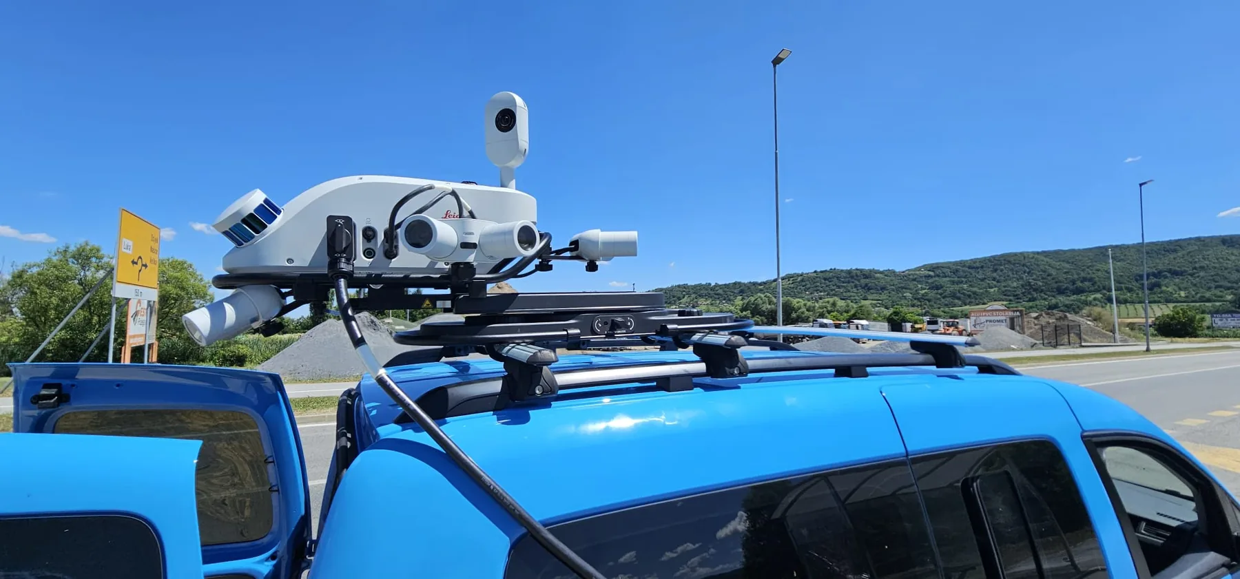
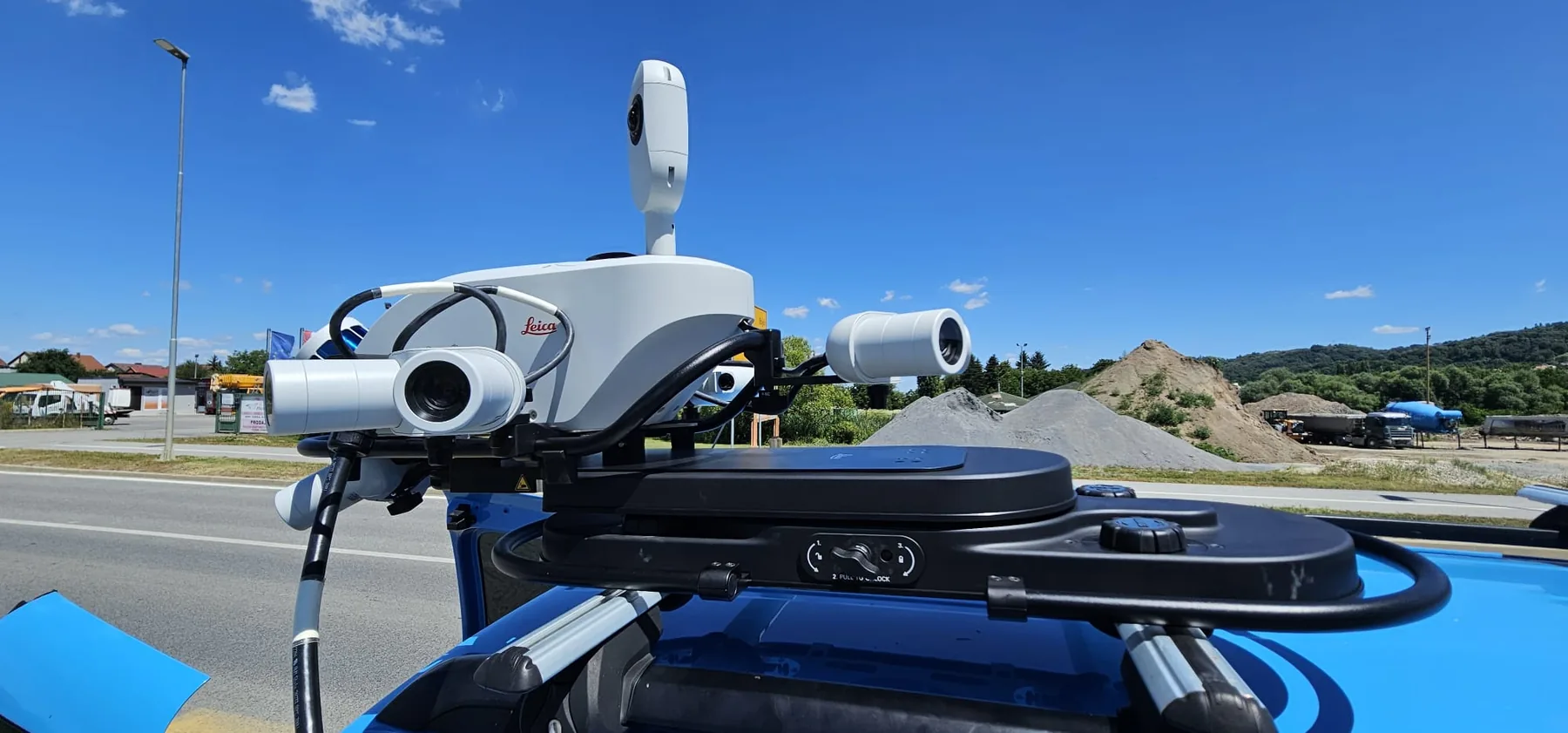
GEOMETRICUS uses professional Leica Pegasus TRK700 EVO and Leica Pegasus TRK100 Mobile Mapping systems to capture georeferenced 3D data while traveling at normal road speeds.
The systems simultaneously acquire LiDAR data, georeferenced imagery, and high-precision positioning data, creating a detailed digital representation of roads, railways, and their surrounding environments. Once captured, the data can be analyzed, measured, and processed without requiring survey crews to return to the field.
We use Mobile Mapping for road and highway surveying, railway corridors, urban areas, infrastructure corridors, roadside assets, and the development of 3D geospatial and GIS databases and digital twins.
A key advantage of Mobile Mapping is the amount of information captured in a single pass. The same dataset can be used to generate point clouds and 3D models, perform precise geometric measurements, inventory transportation infrastructure, and support a wide range of GIS analyses.
This approach reduces the need for repeated field visits, accelerates data acquisition and processing across large areas, and improves field crew safety by allowing a significant portion of surveying operations to be performed directly from the vehicle.
Measure once. Use many times.