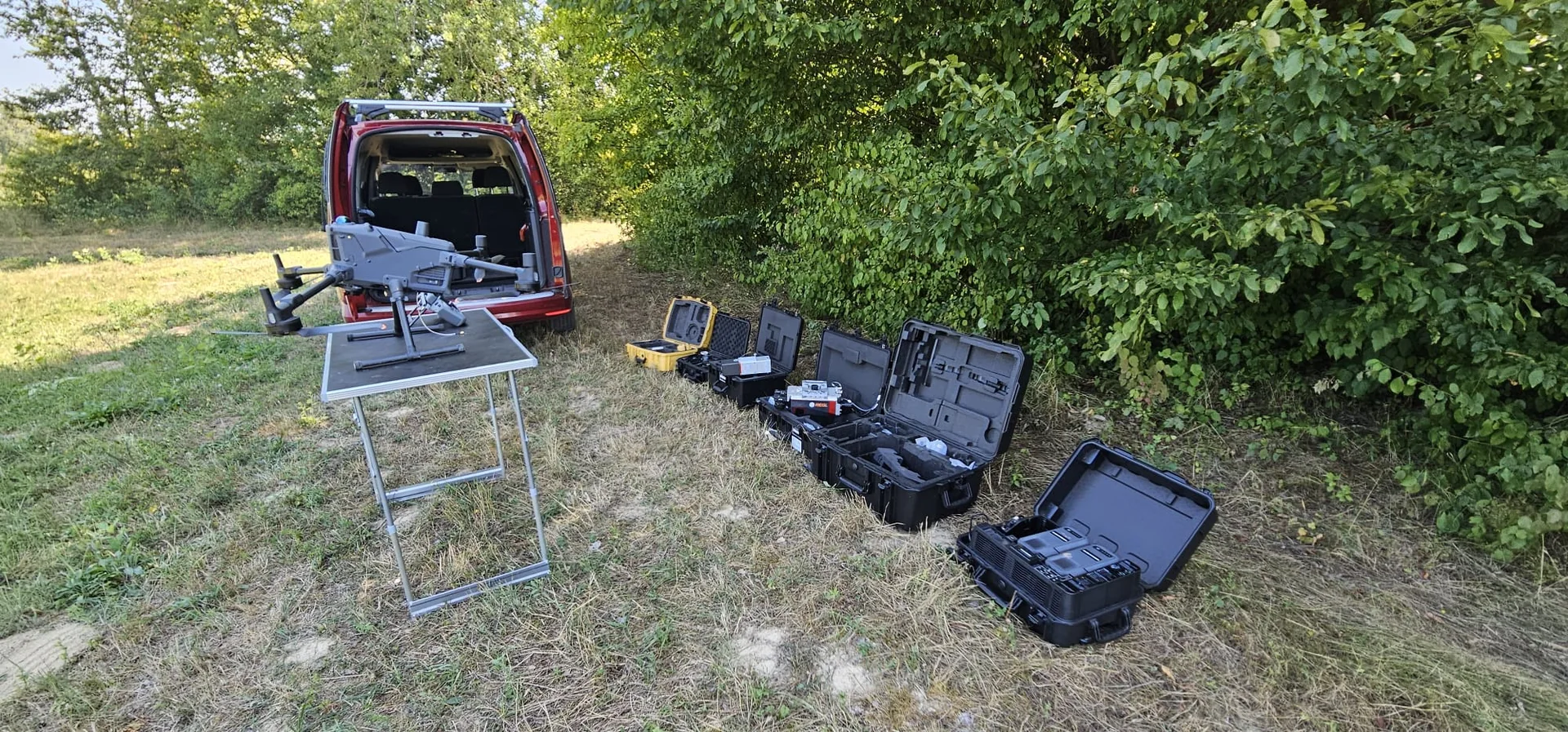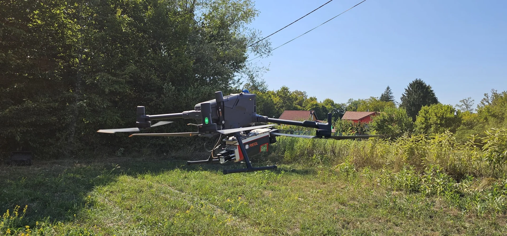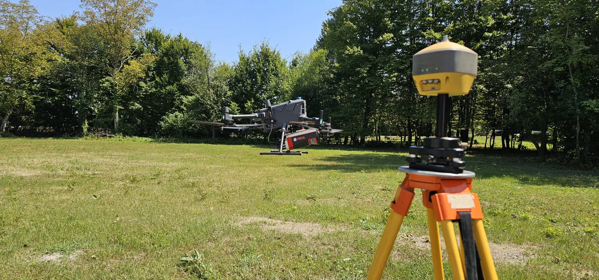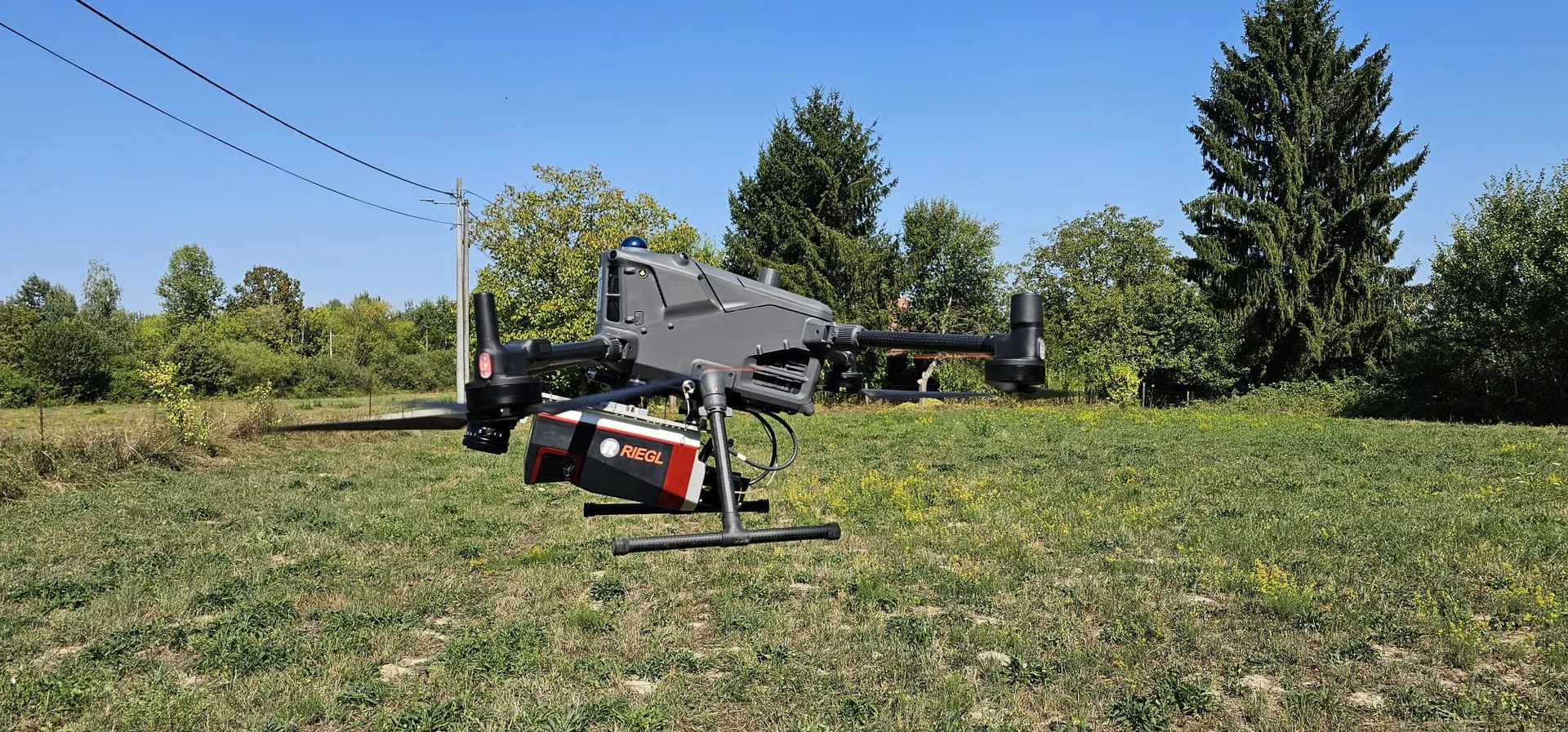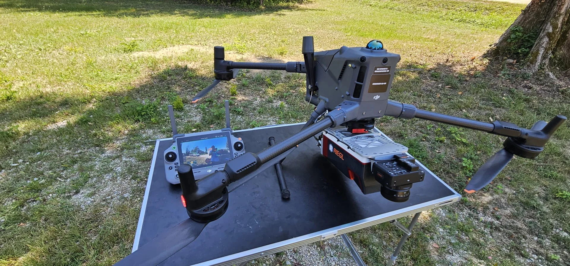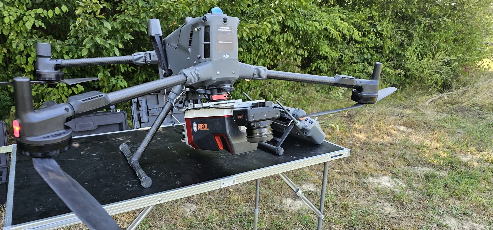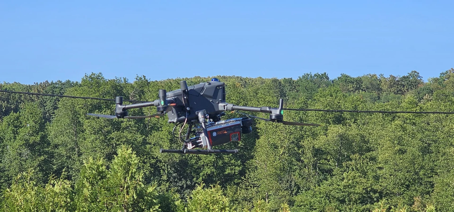

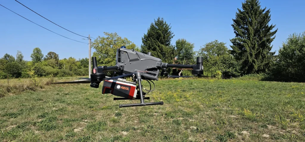
As part of the continued development of our airborne LiDAR capabilities, GEOMETRICUS operates the RIEGL VUX-160 laser scanner integrated with the DJI Matrice 400 UAV platform for high-precision airborne surveying.
The fully integrated system combines LiDAR data acquisition, precise positioning, power supply, communication, and flight operations into a professional airborne mapping platform designed for demanding field conditions.
The system delivers high-density, geometrically accurate point clouds for precise 3D mapping of terrain, vegetation, and infrastructure, including railways, highways, power transmission corridors, construction sites, and other large-scale engineering projects.
The combination of the professional RIEGL VUX-160 LiDAR sensor and the DJI Matrice 400 enables efficient data acquisition across large, complex, and difficult-to-access areas while maintaining the accuracy and data quality required for professional surveying and engineering applications.UAV LiDAR Surveying – RIEGL VUX-160 | GEOMETRICUS