
Real Eastate Cadastre
Blog


geometricus
Real Estate Cadastre
The Real Estate Cadastre is the fundamental record of land, buildings, and other structures, as well as their owners and users. Accurate and up-to-date data are essential for legal security of ownership, real estate transactions, and effective spatial planning.
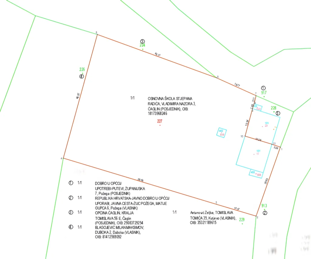
Our company prepares all types of geodetic reports and base maps used to document the actual state of properties, implement changes, and harmonize data between the cadastre and land registry. These reports and base maps are produced in accordance with the regulations of the State Geodetic Administration and professional technical standards, using modern technologies such as GNSS measurements, photogrammetry, laser scanning, and digital data processing.
These documents enable precise spatial recording, efficient property management, and the secure implementation of all spatial plans.
Our services
We prepare precise base maps that serve as the foundation for accurate and safe project design:
Geodetic survey of the actual state of the land
Geodetic survey of a building
Geodetic survey of the as-built state
Preparation of easement proposals
Geodetic reports are prepared for various purposes, including:
Registration of a property in the Real Estate Cadastre and Land Registry
Harmonization of data between the Cadastre and Land Registry
More accurate recording of an already registered cadastral parcel
Division or merger of cadastral parcels
Implementation of spatial planning acts
Documentation of the as-built state of a road
Changes to the area and boundaries of cadastral municipalities
Our goal is to provide geodetic reports that are precise, legally valid, and technically reliable.
